
| Date | Distance | Time | Elevation Gain | Average Moving Time | Year to Date Miles |
|---|---|---|---|---|---|
| 3/21/2016 | 11.2 miles | 4 hours 57 minutes | 2,137' | 2.3 | 106.3 |
Trail Map & Guide
Parking: Gapland Road (start), Route 340 Shenandoah River (end)
Parking: Gapland Road (start), Route 340 Shenandoah River (end)
Directions:
This hike requires two cars. Leave one at Route 340 Shenandoah River parking area, and start the hike at Gapland Road. Hike southbound.
Notes:
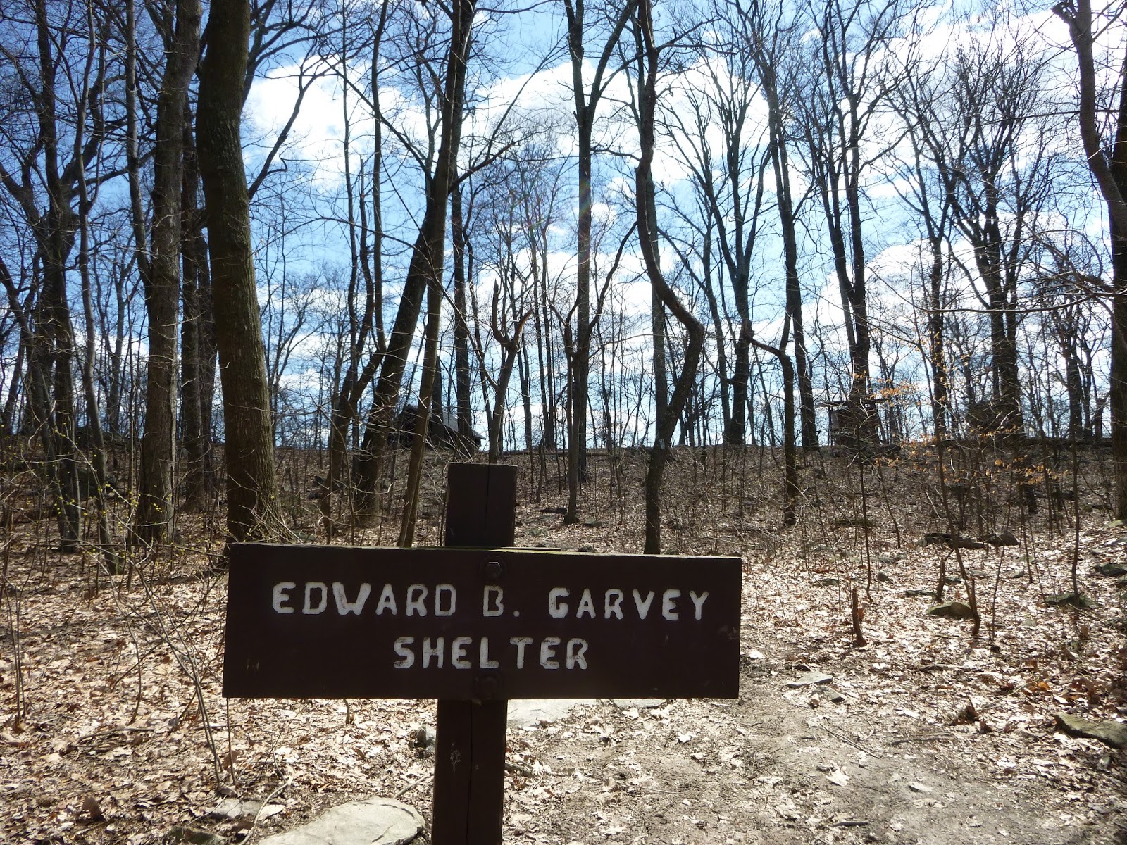
Today we headed southbound to the Maryland - West Virginia border. I had never been to Harper's Ferry before. We got to see the Potomac River & hike along the C&O Canal towpath, which I've done many times before when I was younger.


 |
| Taking the short spur trail to Weverton Cliffs |
 |
| Overlooking the Potomac River |
 |
| C&O Canal |

 |
| The canal towpath makes for easy walking. |


 |
| Trek not so happy about crossing the railroad bridge. This is how he gets holes in his backpack. |
 |
| Looking towards Harpers Ferry |
 |
| Maryland/West Virginia border |
 |
| Harpers Ferry - would be great to spend a day walking around this town |
 |
| We skipped the AT visitor center - Glen was having knee pain, and didn't want to hike up to it |
No comments:
Post a Comment