
Distance: 4.2 miles
Time: 2 hours 47 minutes
Map: Kittatinny Trails Map
Parking: We had a lot of problems finding the place. Driving includes gravel roads with potholes and one lane bridges. One road our GPS told us to turn on was crumbled pavement which then had downed trees across it.
Some of the roads that we drove on had no street signs, which also didn't help.
Parking lot: N 41 degrees 08.240', W 074 degrees 53.351'
Restrooms: None.
Post hike dinner: Chipotle (not close)
Directions: Hiking New Jersey - Buttermilk Falls and Rattlesnake Mountain
Notes:
Buttermilk Falls trail is very steep, especially at the beginning. It was hard to stop from sliding down on the dirt/leafy trail. I think next time, I'll hike from a different parking area.
There are bears in this area (some hikers we met saw a bear in a tree), and rattlesnakes on Rattlesnake mountain.
We didn't complete this loop hike. It was rainy and very windy, so we turned around.
Year to date miles 363.9
 |
| Parking area on Mountain Road |
 |
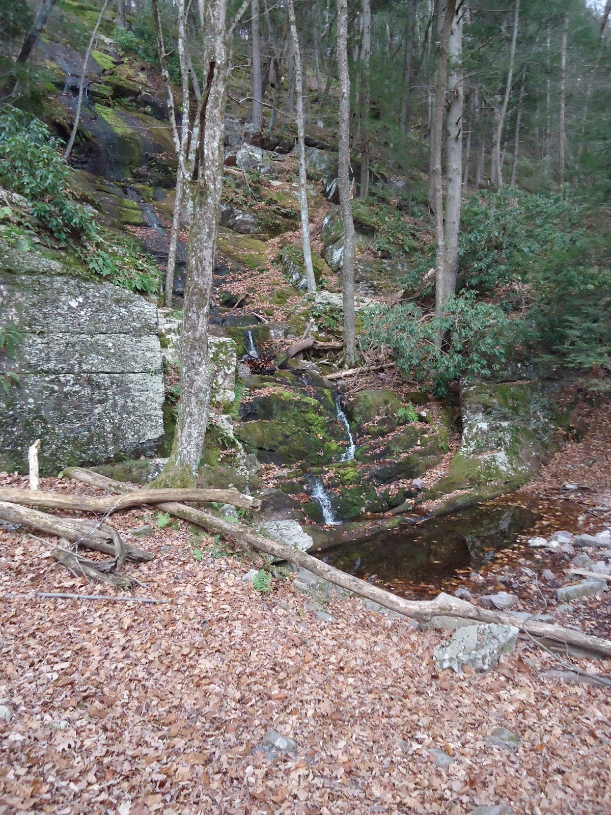
| Buttermilk Falls - which is very, very dry right now |
 |
| Kiosk at the bottom of the falls |
 |
| There are man-made steps along next to the falls, along with 2 viewing areas. |
 |
| The blue blazes of the Buttermilk Falls trail |
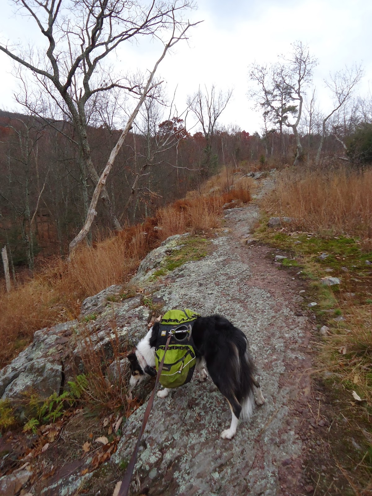 |
| Hiking along a ridge |
 |
| Crossing a woods road, which was supposed to be our return trail from the mountain. |
 |
| Sign at the intersection with the AT |
 |
| This section of the AT starts out as a wide woods road. |
No comments:
Post a Comment