
Distance: 2 miles
Time: 1 hour 13 minutes
Year to date miles: 26.9
Map: North Jersey Trails Map or Norvin Green
Parking: See directions. There is room for 2 cars between the dumpster & the water pump. No Boy Scouts there this time of year though, so I'd assume it would be okay to park anywhere during the winter. Summer might be more of an issue.
Restrooms: none
Post hike dinner: none
Directions: Assiniwikam Mountain Loop from Camp Wyanokie
Notes: Parking is in the Boy Scout camp. From there, you walk along a road a short ways. It looks like past the camp, there are only 4 houses. Someone from one of them (a farm), stopped and talked to us at the end of our hike. She has a border collie too. Once you leave the dead end road, there are no road crossings.
I would consider this hike moderate. Nothing too difficult, minor rock scrambles at one point. The views were nice at the summit, which was surprising after driving by suburbia and the reservoir, which was surrounded by a chain link fence.
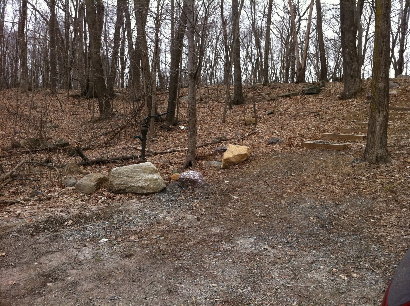 |
| Parking area between water pump and dumpster |
 |
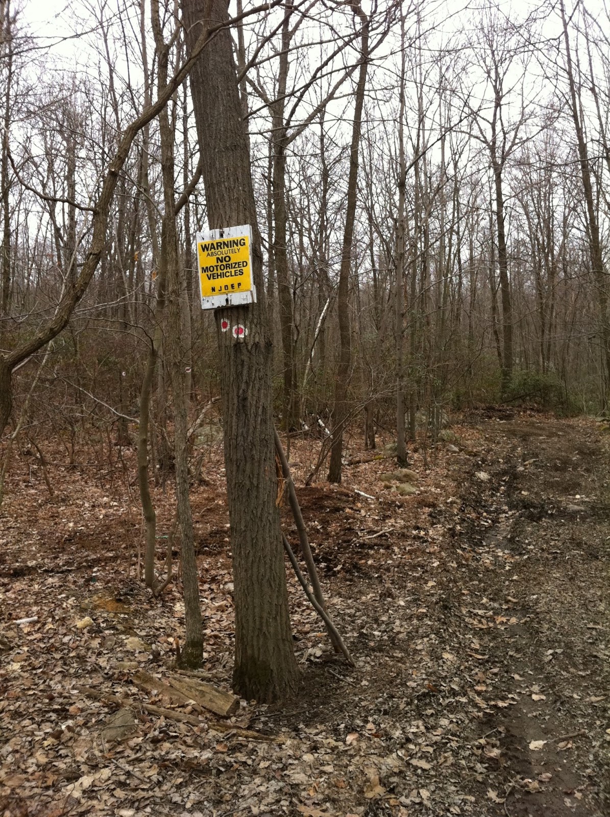
| Continue along the unpaved road. The trail marker is the red circle on white. |
 |
| Follow the road straight until it leads into the woods. The trail veers immediately to the left, leaving the wider dirt woods road. |
 |
| Trail junction. Turn left here onto the pink trail. |
 |
| Cairn at the same intersection as above. |
 |
| As you approach the summit, their are large rocks with cairns marking the trail. |
 |
| The views increasingly get better. |
 |
| Glen didn't use a backpack, so stuffed all of his jacket pockets with what he needed. |


 |
| Trek looking like an insect. One of those antennae is his GPS collar. |
 |
| Returning to the boyscout camp. |
No comments:
Post a Comment