Thursday, April 18, 2024

Mount Hardy and Mountains to Sea Trail, Section 2, Haywood Gap Trailhead to NC 215 Trailhead, Miles 35.8 - 42.3

Date Distance Time Elevation Gain Average Moving Time Year to Date Miles
4/18/2024 7.3 miles 4 hours 57 minutes 929' 1.6 mph 264.3 miles

Parking: 
  • 1 car at Haywood Gap, 1 car at NC 215
Map:
  • FarOut app
  • Gai GPS app (note the spur trail to the MST is not shown on Gaia) - best for navigating today. 
  • Pisgah Map Co., Pisgah Ranger District - doesn't show Mt. Hardy Trail
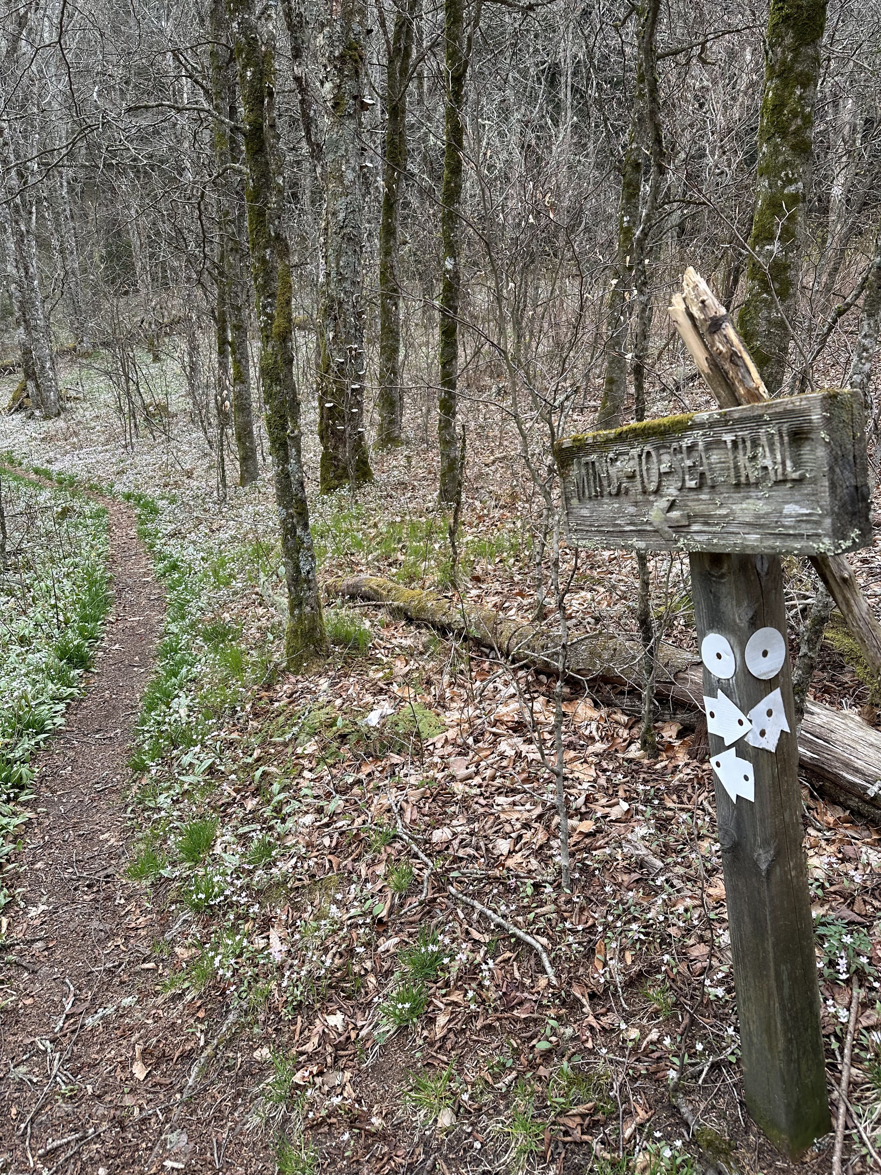
Directions:
  • Starting at Haywood Gap, take the trail on the same side as the car pullout. Pass by Buckeye Gap Trail on your left. Pass by unnamed trail to meadow. Take the Mt. Hardy Trail where it splits off to the right. Keep right at the next intersection and hike upwards to the Mt. Hardy summit. Return back down the Mt. Hardy Trail. At the first trail junction, keep left. At the next trail junction keep right to rejoin the MST.  Pass by Green Mountain Trail on your left. Pass an unnamed trail on your right (Mt. Hardy trail too?). Continue over Black Mountain (unnoticeable). Follow the MST back to the 215 Trailhead.
Carolina Mountain Club Challenges:
  • South Beyond 6000 - Mt. Hardy

Another section of the MST today, starting where we left off yesterday. The weather was warmer today and I was feeling very low energy. The beginning of the hike was pretty level, but I was feeling so weak. Ugh. I had to stop and rest several times, even getting down on the ground to sit for a few minutes. We loved this hike anyways. Many parts of it are very pretty. Lots of wildflowers, moss, ferns, and evergreens. We reached the turnoff for Mt. Hardy. Seeing that its over 6,000', I checked to see if it was on the South Beyond 6000 Challenge. It was! A conundrum. I was exhausted but doing it would only add 1.2 miles to the trip. I decided to do it. Up we go. This was the hardest part of the hike, but really not that hard. It got a little cooler as we ascended. We were rewarded with a view close to the summit. We continued on to the summit. We were walking all around the summit, looking for the highest point. It reminded us of our bushwhacking days in the Catskills, searching for a canister. No canister here. The summit smelled wonderful, again reminding me of the smell of balsams on the Catskill summits. We descended down, and at this point, most of our hike was downhill. We passed over Black Mountain, but I think it's a descent to get to it? We only saw 4 people on our hike today. There were some down trees, but I checked, and a trail maintainer was actually out in this area just yesterday, so I think they've already been reported. Anyways, a really nice hike, and April was the perfect time to do it with all of the wildflowers.

Trout lilies and spring beauties


Dutchman's Breeches

Some obstructed views of nearby mountains


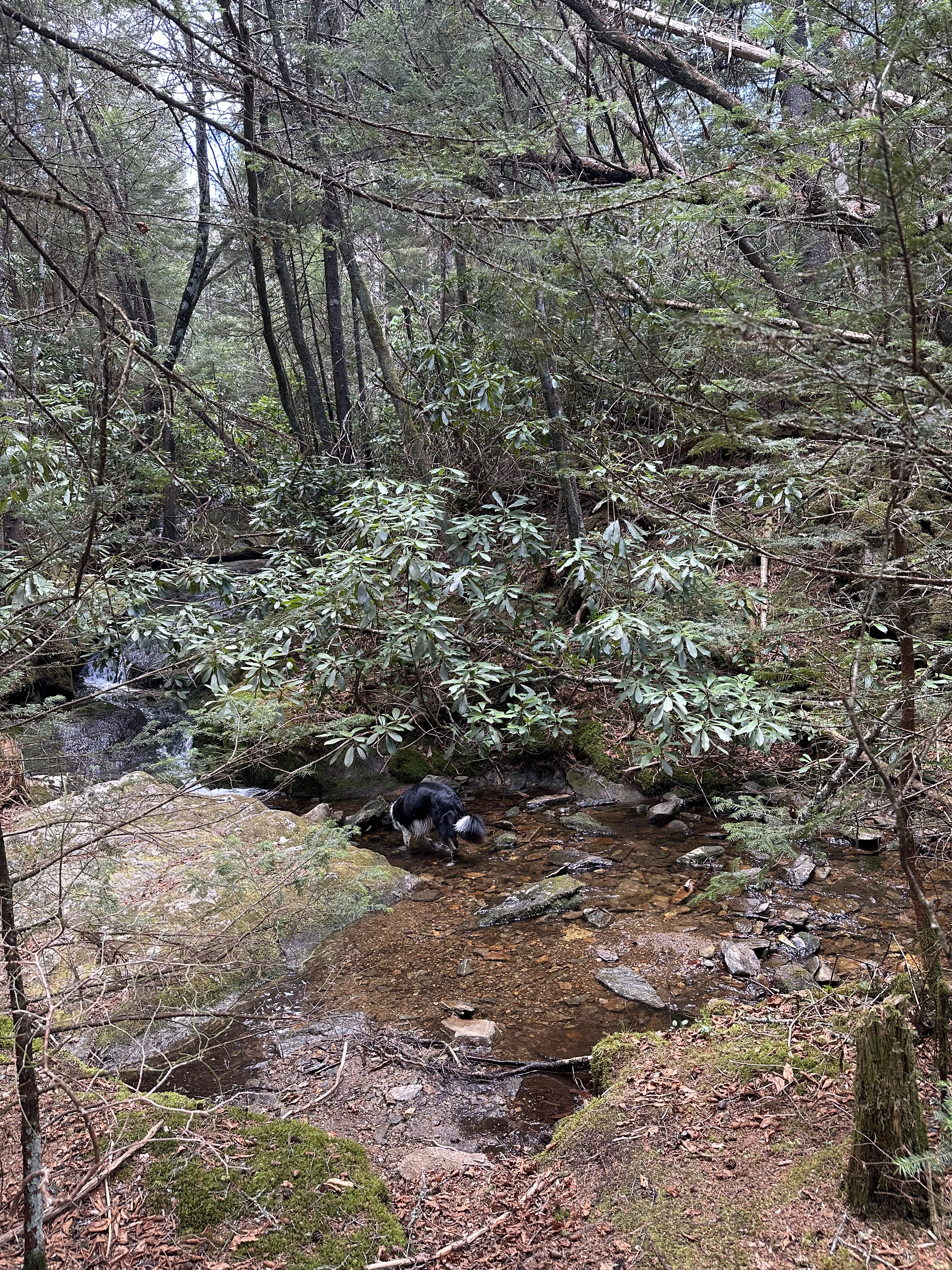
I get to sit down and Krumm gets to play in the water.


This leads to a meadow area. I wanted to hike up there too!
But this is not the MST.

View on the way up to the Mt. Hardy summit


Mt. Hardy summit


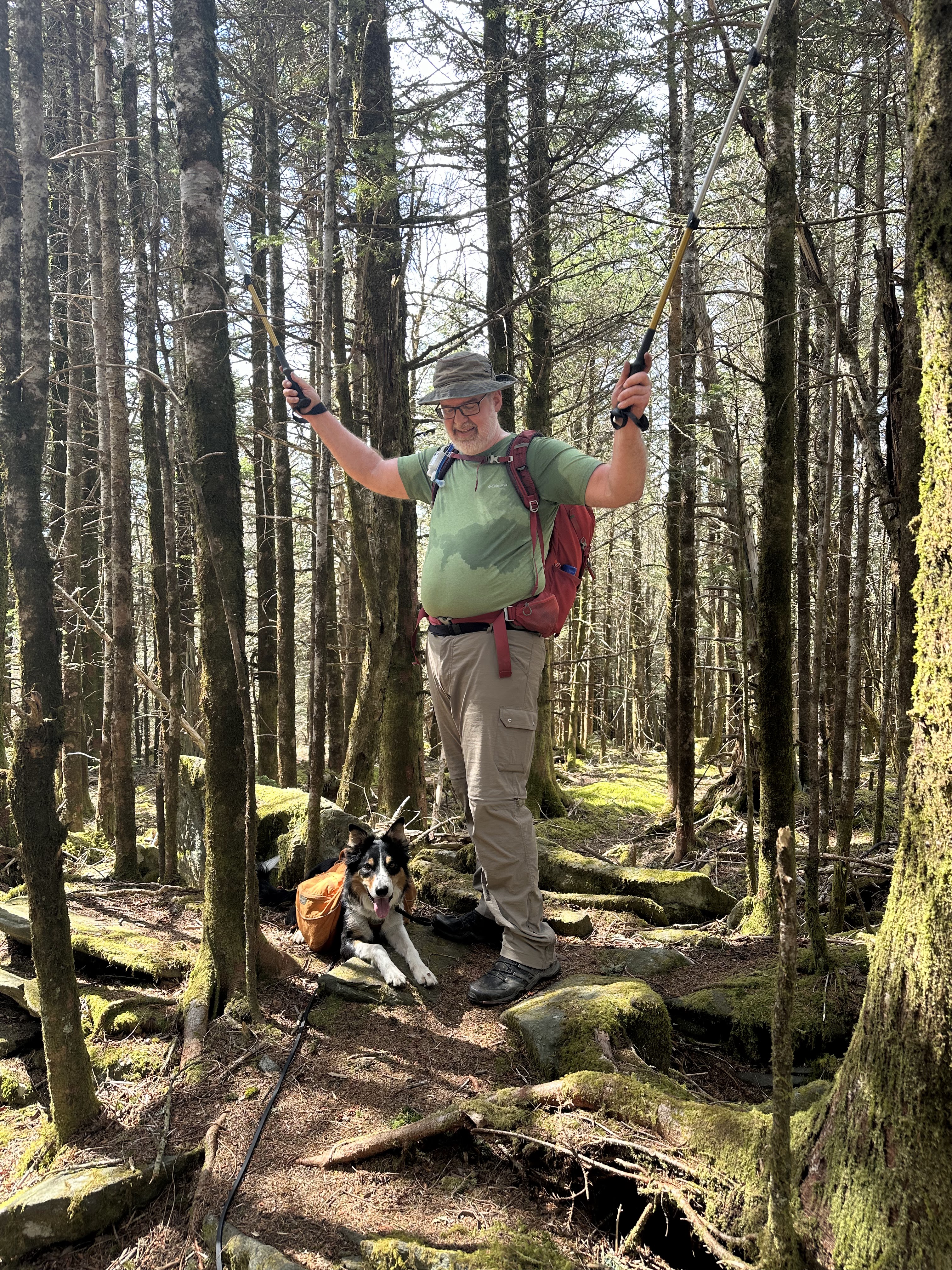
I needed a sit down break.

Close to the end

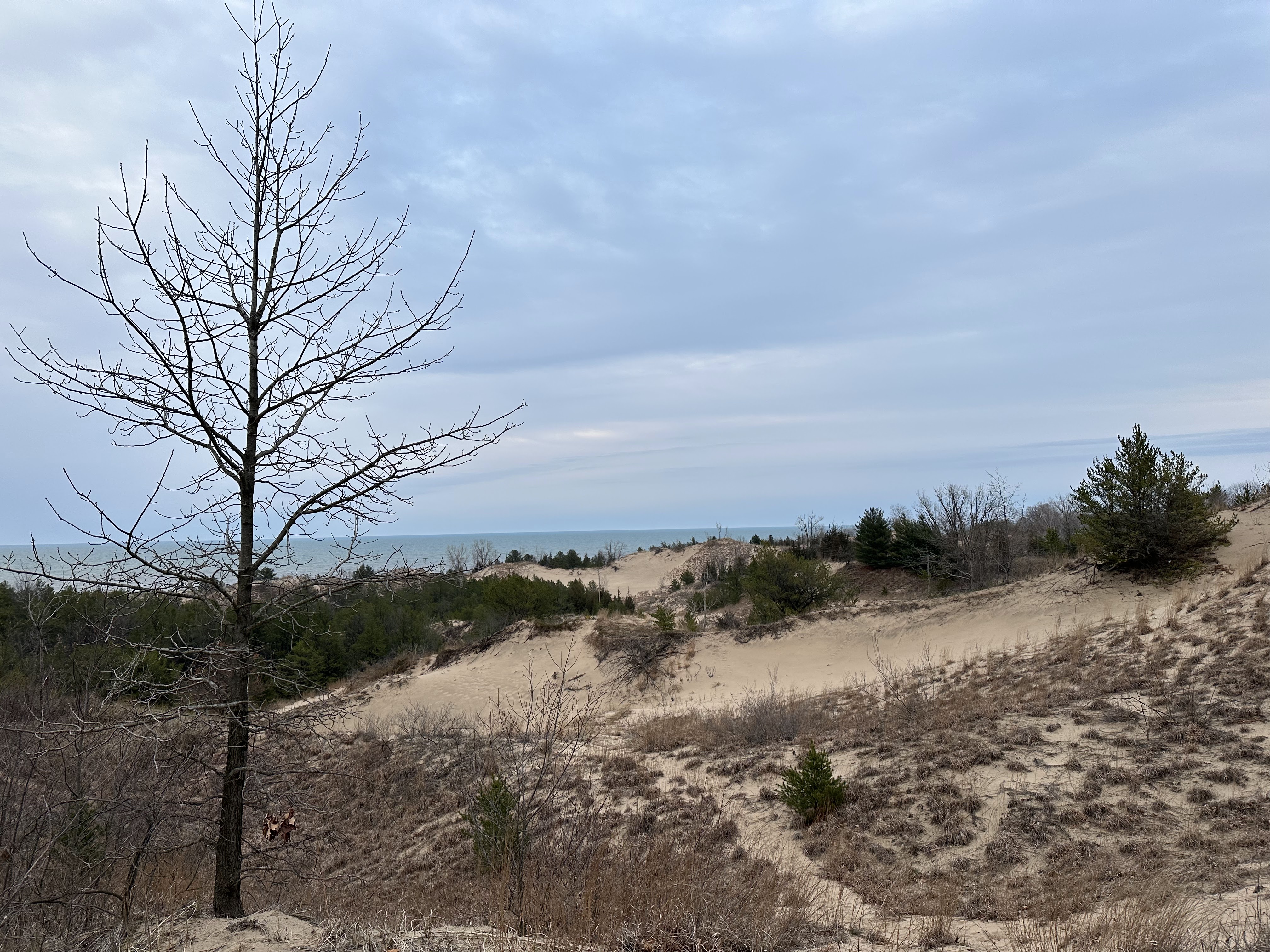
View from a random pull-off on the BRP on my drive home.


Mountains to Sea Trail, Section 2, Bear Pen Gap Parking to Haywood Gap, Miles 33.8 to 35.8

Date Distance Time Elevation Gain Average Moving Time Year to Date Miles
4/17/2024 5.7 mile 3 hours 29 minutes 870' 1.8 mph 257.0 miles

Parking: 
  • Bear Pen Gap Overlook, BRP
Map:
  • FarOut app
  • Gai GPS app (note the spur trail to the MST is not shown on Gaia)
Directions:
  • Take the spur trail on the left side of the parking lot. In 0.6 miles, it arrives at the MST. Turn left on the MST. Hike to the BRP. We went slightly beyond the trail crossing in order to have a scenic place to have lunch. Return the same way.

It's been a few days since we've been hiking, and Glen and Krumm were getting antsy. I'm trying to finish up putting soil in new raised beds this week, before the soil kills our grass. Why did I get such tall raised beds? So, I skipped my morning digging in order to go hiking with Glen and Krumm. 

We both liked this section. It has a wide variety of terrain. Some sections were cruisy. Some were very rocky and could use work. Some was walking on pine needles (my favorite). There are winter views on this hike, and we only ran into 2 people. But the stunning part was all of the flowers. The sides of the trail were littered with trout lilies and spring beauties. The trail just past Haywood Gap was just carpeted in them. What a great time of year to hike this section. On top of that, being at elevation, we had much cooler weather than Asheville.

Start of side trail to MST

Trout lilies


Spring beauties

Intersection with the MST

Bluets


A large blowdown, already reported to the CMC


A second blowdown, which we'll report


Canadian Lousewort


Blue Ridge Parking crossing at Haywood Gap.
Note the parking available on the shoulder.

Just a few feet past Haywood Gap. The flowers here are amazing!

Masses of spring beauties and trout lilies - unfortunately the effect doesn't come through in a photo.


Wednesday, April 17, 2024

Indiana Hikes

 Brown County State Park
          4/7/2024 Ogle Lake Trail 

Total Solar Eclipse
          4/8/2024 Nashville

Indiana Dunes National Park
4/9/2024 West Beach
          4/10/2024 Cowles Bog Trail
          4/10/2024 Mt. Baldy
          4/11/2024 Tolleston Dunes Trail
          4/11/2024 Dune Succession Loop 1

Dune Succession Trail Loop 1, West Beach Trails, Indiana Dunes National Park

Date Distance Time Elevation Gain Average Moving Time Year to Date Miles
4/11/2024 1 mile 38 minutes 140' 1.9 mph 251.3 miles

Parking: 
  • 376 North County Line Road, Gary, IN
Map:
  • Provided at Indiana Dunes National Park Visitor Center
Directions:
  • From the parking lot, take the trail to the right. Hike in a counterclockwise loop, continuing on to the beach and through the bath house back to the parking area.

We still had time after our Tolleston Dunes hike before sunset, so we headed back to the beach. There is a huge parking lot here, yet there was only 1 other car in the parking lot. A cool, rainy spring day is the perfect time to go to the beach. The beach is our favorite part of this park (Krumm's too). This was a short loop, but I loved it! The hike is mostly on a boardwalk which climbs a dune and then descends through a forested area. 

Photos are in reverse order.

 
Chicago


Beach play means lots of sand up your nose and in your mouth.


The waves were too big for swimming today. 


Most of the trail is on a boardwalk.


Chicago


The trail starts here.